Oklahoma Between the Trails Section
Arkansas Section Trails
On-line Recon Map
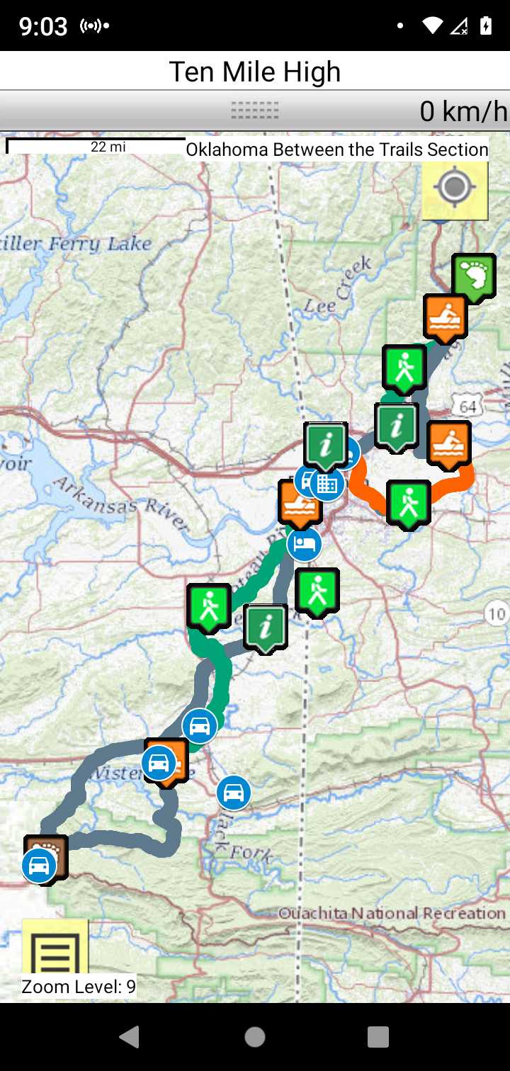
Oklahoma Between the Trails Section
Section Driving Directions and Trail Information
Each section trail is shown in red and each shows the connection with an adjoining loop trail in turquoise. Section trails are typically two or three day hikes but some may be 5 day hikes or more.
Trail Map as it Appears in the App
Weather Forecast and Current Radar
ARKANSAS CURRENT RADAR (INTELLICAST)
Roadwalk
60 mile ONRT to Fort Smith National Historic site road walk. Alternatively you can float the Poteau and Arkansas Rivers NOBO and the Frog Bayou and Arkansas River SOBO.