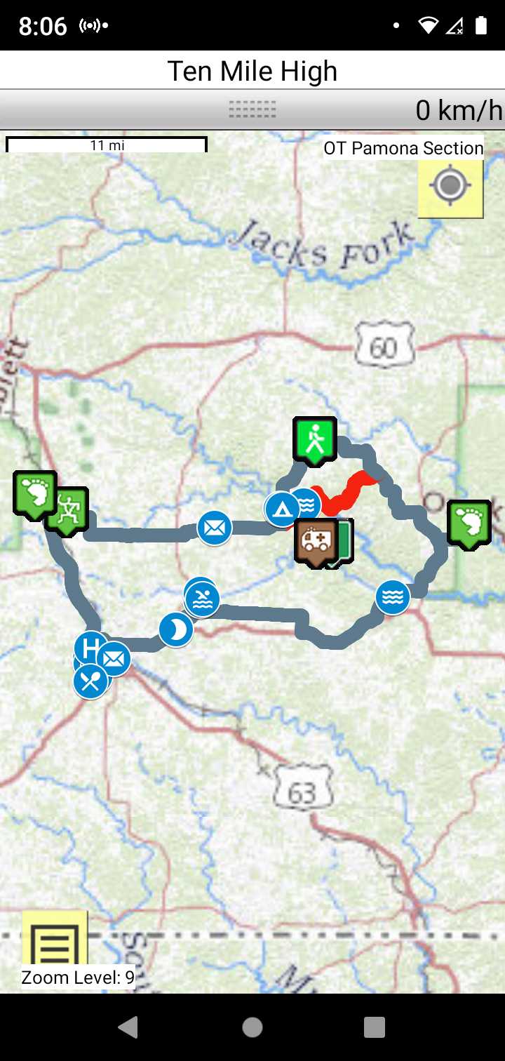
OT Pamona Section
Missouri West Section Trails
Section Driving Directions and Trail Information
Each section trail is shown in red and each shows the connection with an adjoining loop trail in turquoise. Section trails are typically two or three day hikes but some may be 5 day hikes or more.
Trail Map as it Appears in the App
Weather Forecast and Current Radar
MISSOURI CURRENT RADAR (INTELLICAST)
Roadwalk
There exists an official OT route for the Pomona section. Here a couple of routes between the 11 point section and the North Fork section I came up with but have not verified. The northern route crosses the 11 point river and is the shortest. It does cross private property at the end of CR442/CR426 and CR443 Only two owners are involved: KAYREI LAND HOLDINGS LLC 2010, CONSTANTINE; JEFFREY, CONSTANTINE.
Perhaps the OTA could negotiate permissions. I just revisited the routes and came up with an alternate in red. This alternate crosses both of the above owners but The red route at the river follows what looks like a pipeline easement on KAYREI property and barely touches the CONSTANTINE property. The red route will be the easiest to negotiate.
It was a beautiful hike through miles and miles of cattle country. It was hiked in early December and the road shoulders had been mowed, accommodating road edge walking. The only problem was a camping spot on the 37.9 mile hike. Going off trail at the 17 mile point on County Road W and traveled south to hammock camp under the Eleven Point River Bridge using suspension ropes. There is a County right-of-way on the north end of the bridge that would accomodate tents. From the bridge you continue south on CR W to the point where the official route rejoins W after angling cross country roads for 7.8 miles.