Missouri River
Missouri East Paddlers' Trails
Paddlers' Driving Directions and Trail Information
Each paddler trail is shown in green, orange, or blue and each shows the connection with an adjoining loop trail in turquoise. Paddlers' trails are typically two or four day floats if floating the entire length. Single day floats are available from various outfitters.
Weather Forecast and Current radar
MISSOURI CURRENT RADAR (INTELLICAST)
Weather Forecast and Current Radar
MISSOURI CURRENT RADAR (INTELLICAST)
Weather Forecast and Current radar
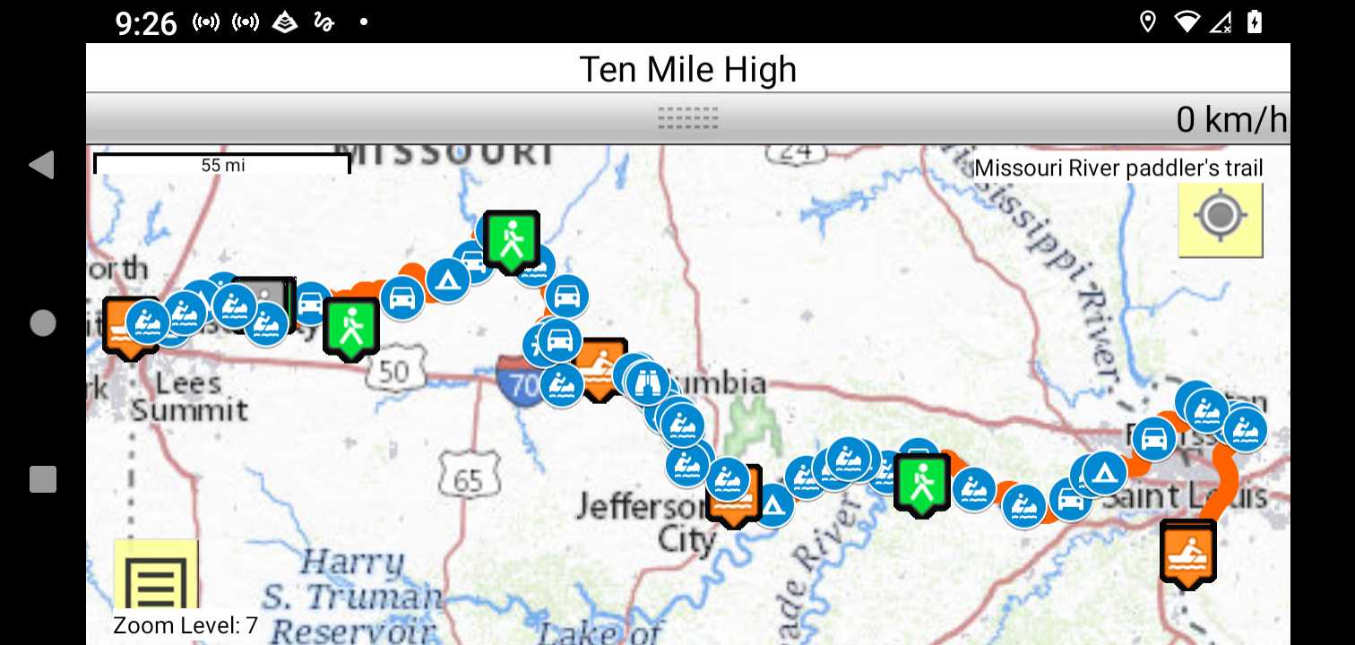
Trail Map as it Appears in the App
Facebook Search Links
Missouri River search results in FB groups
River Navigation Map Links
The Missouri River is a self outfitted float/paddle.
Lewis and Clark NHT Visitor Centers and Museums Navigation
MISSOURI AMERICAN WATER MR340 Paddlers Guide
MISSOURI AMERICAN WATER MR340 Course Maps
MISSOURI AMERICAN WATER MR340 Ramps