OT Greenway Section
Missouri East Section Trails
Section Driving Directions and Trail Information
Each section trail is shown in red and each shows the connection with an adjoining loop trail in turquoise. Section trails are typically two or three day hikes but some may be 5 day hikes or more.
Weather Forecast and Current Radar
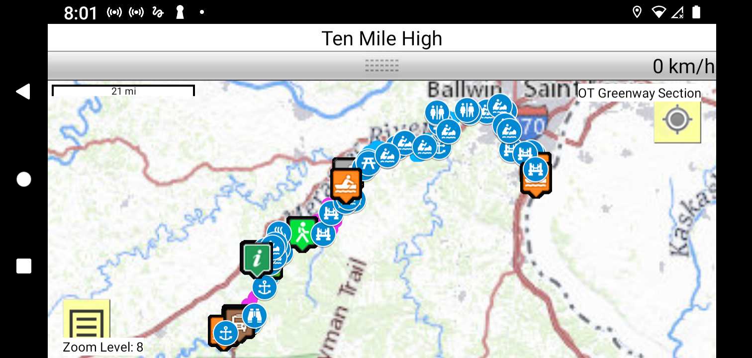
Trail Map as it Appears in the App
Facebook Search Links
Meramec River search results in FB groups
River Navigation Map Links
The River is a self outfitted float/paddle if you are going to float it to the Mississippi River. Otherwise there are outfitters that serve most reaches..
Southwest Paddler Meramec River